
As we leave Midway we see too many Coots to count feeding on the marine vegetation along the shore.

This is the Canal Section (also know as the Chain of Lakes Section) runs from Mile 419 to 366. It is 52 miles long and consists of dams and pools connected to form a 9 foot deep waterway. There are five locks and dams in this section and we are doing the Locks 3-4-5 today. The locks are relatively chose and the traffic flow is coordinated. All locks were built about the same time, they look alike and all have the bollard system for tie ons. Because of the short drop, travel goes quickly. Each lock has a different VHF call number to eliminate reaching an unwanted lock.
As the five loopers leave the lock there is a barge down river ready to enter. When exiting a lock the water is very swirlly due to boat wakes and exiting lock water. We are the slowest boat and take the last position thus getting the most turbulence.

When the Waterway was constructed, the trees in the middle but not at the sides of the canal were cut. We see many stumps at the shores.

At Mile 376 we pass the Wilkins Lock. It has a 25 foot drop, the smallest drop yet in this section.

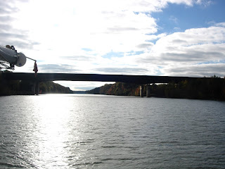
Above is a picture of floating marine growth in the Amory Lock, Mile 371. It seems to live whether attached to sand or floating and was probably what the Coots were feeding upon. As we leave Amory Lock, here is what we see.

Ox Bows were created when the river was "straightened". A canal was cut across a twist in the river making the channel straighter and creating a island. Behind the island is a quiet channel which makes a good overnight anchorage. Enter slowly and keep a close eye on the depth finder as some of these channels are shallow!

In this section the banks are much lower and covered with trees, scrub and sand.

Since it is only 1 pm when we reach Aberdeen Marina, we decide to continue down the river. We pass through the Aberdeen Lock and Dam at Mile 358 and head for Columbus Marina at Mile 335. If we hurry, we can reach the Marina by 5 p.m. when the sun disappears! We call and tell them we are coming and will need gas. Two of the loopers we traveled with earlier, Cynthia Faye and Baby Grand, have told us that this is a first class marina and extremely helpful.

A few miles before the Marina we come around a bend and see a sailboat! It cannot be more than 15 feet long. We speak with the man at the tiller as he putts putts along. He is on the way to the east coast of Florida via the Cross Florida Waterway but today he is headed for Columbus Marina!

As we near the marina, we can see the Stennis Lock and Dam but no Marina. Finally we see a sign that guides us to the left. We enjoy our short stay getting both gas and a shower. We opt for staying aboard and the "Cook" prepares Mashed Potatoes-Sauerkraut-Chicken.
